Thursday, June 27, 2013

Nevermore

Corvidae are pointellism-resitant

I posted this shot, unaltered, earlier, somewhere. That day, a family of crows were pecking at the Virginia piedmont clay, reddening their beaks toward some unkown end. Cranking up the saturation on this shot makes it both more magical and real. I like the way the crow holds it's form while the leaves blottify. The leaves come and go, but the crow sticks around, her young and then his perching and pecking through woods dancing from growth to decay and back.

Ravens don't like having their photos taken, so I got no nevermore. The evermore of the common crow is enough for a non-poet, dirt-digger, woods-walker.

Saturday, June 22, 2013

Camas Fields Forever


For two weeks in a row, I've been blessed with fieldwork in a sublime Cascadian meadow. This last time, I encountered other western Washington folks who'd made the trip top see the legendary camas bloom--the place is so famed for this blue lily that it's common name is Camasland. Last week was the time to see the bloom at its peak, when the flowers are so thick that swaths of meadows turn blue; I offer these photos (which are pathetic  stand-ins for the real scene) to those who missed the day. Explorer accounts back to Lewis and Clark speak of camas meadows that appeared to be lakes, although to my own eye (connected to a mind that demands less sense) the biggest areas of camas looked like pools of sky, complete with fluffy white clouds of American Bistort.

Camas is just the best known of many plants in this meadow that are important to native people. This meadow is a treasure to the Wenatchi and other tribes that came here generation after generation, congregating in large numbers to harvest the roots, socialize, and later light the fires that kept the meadow from reverting to forest.  The soil is black from thousands of fires, dark rich testament to centuries and millenia of tending to this special island of meadow in the Cacadian treed terrain.


While the blue may look more like sky than water to me, the camas lily appreciates lower, wetter ground, which means that sometimes it lives in the silt of relict channels and silted in streams. Camasland is a flat meadow within a bowl of forested hills, and the stream that winds through it has meandered here and there over the years. The photo above shows the faint blue of camas in one of those old channels, with the yellow flowers and larger foliage of balsamroot on the banks. Difference in elevation between these zones is only a few inches, but that's enough to nurture quite different vegetation on each. The meandering blue is an echo of a stream, a channel living forever.


This landscape is special to modern people as well. Years ago, the state decided to conserve the ecosystem here, and set aside most of it. There are rare species involved, but the place is special also because of the abundance and cultural importance of some of the more common species present. Preserving this place forever means that the ancient yet fleeting beauty of a wildflower meadow will not become a housing subdivision (the fate of most prairies west of the mountains) or some other modern development that will be fleeting compared to the natural and cultural history of Camasland, but which could do irreversible damage.

Wednesday, June 12, 2013

Some Salish Sea Beaches


Where the Straits of Georgia and Juan de Fuca meet the Sound of Puget, the tides rushing in and falling out swirl round myriad peninsulae, islands, and rocks. On the rise, they reverse the course of even the mighty rivers twice a day, pushing into inlets and sloughs, fjords and marshes. As streams and rivers deliver sediment by the daily mote and occasional landslide, as bluffs calve and slump down to the shore, the tides grab rock and sand, smudging it around each cliff and dune, softening the drop into the deep. Carbon in the forms of leaves, seaweeds and logs rides tides and storms to the high water mark, adding to the littoral, the liminal that separates and unites land and sea: the beach.

Slow that story down, stretch each hour to a millenium or two, and it plays out with tides of ice. Glaciers carved out much of the sea, drowned land under grinding flows and ebbs. Each advancing lobe plows deeper while the sheer weight pushes the bedrock down. When the climate warms, the glaciers retreat, barfing collosal slurries of meltwater, rock and grit as they do. Freed of the weight and exposed to Northwest rains, the land beneath rebounds and erodes downstream. Sometimes, the glacial pace speeds up with a rushing river beneath the ice, or collapse of an ice dam that unleashes great lakes all at once.

On either scale, rocks and organics end up along the shore and on the floor of the Salish Sea.


Meanwhile, the sea sends up it's contribution. Creatures crawl up, seaweeds drift in and hold fast. All those rocks become covered with coatings of single-celled organisms, draped with flaccid primitives, crawled over by critters with exoskeletons, all while the clams and their kin burrow down and spit up sand (all of them poop, or die, or both, adding to the beach). On a low tide, the land normally hidden by the sea's glare and motion emerges, occupied over every inch in stark contrast to the plain plane of water we normally see on the calm Salish Sea. No wonder the local people have always said that when the tide is out, the table is set.


Set the table these days with these beach denizens, and you may find people saying that they ate already. Let Bourdain eat the barnacles, or that thumbheaded Bizarre Foods guy enjoy the salty cartilige-covered-in-slime texture of the limpet (well OK, Hawaiians will take the latter with gusto, but for the most part, moderns have narrowed down the list of edible shellfish to a handfull). But look at the species spread in many an old shell midden, and what you find is diversity closer to what lived on the beach than what a modern table holds. That's what happened when people needed the beach and it's life in order to live themselves; that's how it was before oyster and geoduck became conspicuous and expensive consumption.


Of course, seeing these old sites has become harder. More than a century ago, many were dug up and hauled away to burn the shell for lime, or fed to chickens to make their eggshells harder, or just piled up in dikes to "reclaim" the marshes that fed previous generations. Later, people took to armoring the shoreline, strangling natural beaches beneath fill and junk while what once stretched in front was washed away. People who believe that they own a piece of the earth want to build right up to the line, and in so doing wiped away that magical stretch of neither-land-nor-water that any good beach embodies.

For a variety of reasons, the Northwest has escaped widespread sea level rise thus far, but it will not forever, and future storms will wipe away the archaeology that could tell us how people adapted to previous changes in climate. A shift in the winds, a subduction zone quake, and the wisdom of millenia calves away, pulling certain kinds of knowledge out of reach. I've seen coastal sites that are within a few storms of disappearing entirely. Meanwhile, the agency responsible for archaeology has poured resources into studying buildings on the shore and promoting them as tourism magnets, with no perceivable effort to document and learn from the older coastal sites and what they could mean for our well-being and survival.

Beaches will always exist (they will replace the buildings when we are gone, surely as the tides will continue to flow and ebb), but the beaches that we can learn from, the ones that tell the stories of how people dealt with climate change or tsunamis, for example, are eroding, their creatures thinned to a faint shadow of their former abundance and diversity by the ongoing acidification and extinctions.

Friday, May 24, 2013

Coulee Climbs and Straightaways: Backroad Route 174, 17, and 2


It's been way too long since a backroads post. Now, as then, my route is anything but a back road to the locals, and I apologize for any offense they might take (and remind them that I am avoiding telling the general public about the really good backroads). It covers a fair stretch of Route 2, only a backroad compared to I-90, but to get right down to it, 90 probably does have 100 cars to every 1 on 2.

But let me back up a sec. Route 2 was the third leg of this trip. The joints of these legs: curving grades making their -scents (de- or a-) as the westward course confronted coulees and a river. Between the joints, longbones straight and narrow; straighter than the crow flies, lies the engineer's centerline. The surveyor runs due south, mile after mile, and Route 17 is born; turning 90 degrees west, he draws Route 2 to Waterville. Up north, Route 174 does bend a bit more, flexing to the landscape and paths discovered by creatures and the people that hunted them ever since the end of the Ice Age. 


Taking off out of Grand Coulee on 174 begins with a climb, and you cross under one of the primary electric umbilicals of the Power Grid. The towers march off on their line, and174 takes off through some pretty country, especially late on a warm Spring day.

Coulee climb #1: Outta Grand Coulee (or is that Coulee City?)
The 174 - 17 junction is a fork no matter how you approach it, and there are yield signs, but the only vehicles I've encountered there are truckers pulled over for a rest. I usually do the same for a few minutes to rearrange the growing midden in my truck and stretch my legs with a walk through the empty intersection.


There's the mildest switchback ever ascending to the next plateau, and then straightest of  shots beyond. The road only makes sense if your concept of land is a grid. Until the last century, everyone traveled up and down the coulee (you know, where there's food and water), and you can still do it on RT 155, but once the land is cut into sections and quarters, and you need to get grain to market, a road straight through the fields makes sense. It's modern agriculture's umbilicus to markets for petrochemicals in and food out, laid down on the Cartesian Grid.

Tanks (for fuel? fertilizer?) and Elevators (for output) on Route 2.
After miles of wheat and linearity, 17 descends back into the coulee, not near the Grand Coulee the city, but the city of Coulee City, all of which may just be towns when it comes down to it. There are more power lines, although this is the lower end of Banks Lake, which is an irrigation reservoir than a hydroelectric project; they both depend on Grand Coulee the dam. Banks Lake and the canals flowing from it are the umbilical waters flowing onto the farms partitioned along the Township Grid.

Monotonously straight as much of this route may be, there are a few breaks that take my breath away. Like entering Moses Coulee.


Looking across the sage at golden cliff walls with cocoa talus skirts, I am in love with this place every time I see it. Luckily (and with some attention to timing), I have been through here many times in the fading afternoon, and every time, it is a blessing.

This last trip, on that big coulee-climb up from Moses, I shot out onto the top and into a straightaway pointing right into the setting sun. Beautiful, too, but also difficult driving. Glare in the face, windshield lit with dozens of bugsplats, each a tiny firework of captured sun in my eyes, scratch refractions, a haze of dust alight across it all, shiny tarlines on the road reflecting even more sun from the ground up.

Luckily, there was nearly no traffic, and what little there is is visible from miles away. Because I guess even Route 2, mightiest of the 174-->17-->2 run, is a backroad in the interstate age. Lonely straightaways where driving is as simple as it gets and you can take in the country, which is flat and clear enough that it passes at a stately pace, not much in the foreground to whip by in a blur. I'm pretty sure I was out of cell range for most of the trip, which also felt good, getting off the Communications Grid (even if I was confined to the road engineer's east-west north-south orientation).

Wednesday, April 24, 2013

Watching Bird Watching Art

"X never marks the spot." -Indiana Jones
This could be anywhere, but it is in Scottsville, VA. I just happened through, and it must have been Arts Walk or something, because here was this pigeon with an elaborate installaton.

Sure, what people noticed first was the massive scaffolding surrounding a large lone building, a brick of red in a crochet of scaffold rust. Especially nice against the Spring-greened dike and trees stretching out behind.

Then, perched in a pinnacle of empty panes, there stands the artist. In the crux of the X, smack-dab at scaffold-center stands an iridescent neck flanked by grey shoulders, rising from sleekness against darkness of the warehouse cavern. And atop this oiled rainbow of a neck, a head sharply grey, whetted by an eye piercingly orange, an orange borne of the saturatallucinated union of the brick and rust all around.


The artist glances one way then the other over and over, one eye always focused right on you. Nobody can explain how the pigeon simultaneously looks into each eye of everyone below, but it happens nonetheless. Meanwhile, the profile either reflects or parallels the pigeon's clever pecking of a pigeon-profile void in the pane to our left. Juxtaposition of the breast curve--a sublime, eloquent line depicting beauty all puffed-up and proud--with the shattered lines converging at the head (is that a woodpecker?) is nothing short of brilliant. 

Meanwhile, above and to the right, we see Pigeon's nod to the landscape. A mountain profile appears in the broken corner pane. Sophisticated as this installation surely is, a moment of simple representational art is not beneath it. A certain amount of self-mockery appears to be part of this Scottsville aviant garde piece as well: the artist's feet are a hilariously awful color. Just as the eye-orange clinches the artist's brilliance as a colorist, the scaly alcoholic-clown's-nose colored feet establish this pigeon as a humorist.

So, Bravo Scottsville Pigeon. You took a ruin and made it a font of creativity. You showed us that Pigeon-Americans are not just garbage-scrounging winged rats, and I think you showed those snooty NY birds a thing or two about real art.


\

Saturday, April 20, 2013

Blue Ridge: Distant


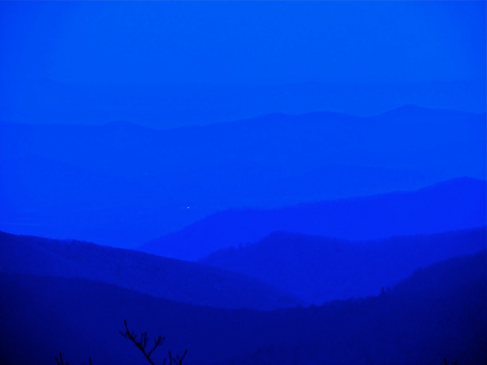
From Spy Rock, on a clear and slightly hazy day.


Same shot, blued up a bit.


Blue to da max.

Thursday, April 18, 2013

Blue Ridge: Close

Beyond time to plant corn, according to oak leaves larger than mouse ears.
The second week of April in the Blue Ridge mountains in this wild year of Winter-straight-to-Summer, buds responded to the 40's to 90's weather by exploding. I walked through woods in their last gasp of long visibility, canopy emerging.


And flowers, too. Roadside redbuds blossoming ahead of their understory kin. Other flowers I do not know on branches above the fading daffodils strewn in the woods.


Meanwhile, the less glamorous trees flicked a fleeting beauty, befire getting on with their biomassing.


 And their Virginia creeping.


Meanwhile, in civilized clearings of the foothills, imported Asian magnolias danced, tossing off petals into the heated air.


Flowers and leaves battled it out to adorn the water color sky.


The tulip poplar began it's year of display.


A grave-side hawthorn stood guard, stark against the sky in these days before flower and foliage soften its profile.


The orchard trees beckoned bees.


And ornamentals let it be.


Belle blossoms pealed.


Buckeye foliage unfurled.


And sumacs shouldered their way in.